SERVICES
AERIAL INSPECTION
EnviroTech's flight crews undergo specific training in the techniques required to conduct low level aerial inspection safely and effectively. You will be kept abreast of not only any actual leaks in your lines but also any potential threats to the integrity of your lines due to human activity or the forces of nature.
METHANE GAS DETECTION
EnviroTech Aviation combines spectrometer, GPS/INS and simultaneous optical imaging to provide customers with accurate, actionable data on exact location, heading, and real-time ground conditions around emission sources. This strategy ensures complete coverage and guarantees that we will find emissions, no matter where they are in our survey area.
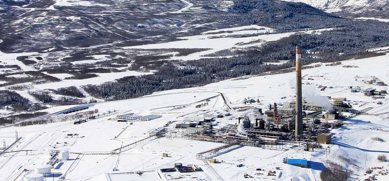
AERIAL PHOTOGRAPHY
EnviroTech Aviation utilizes modern digital single lens reflex cameras that are capable of producing crystal clear high definition photographs. We have also completed numerous special projects for their Customers from developing complete photo libraries of pipe line systems and assessing brushing requirements for overgrown lines.